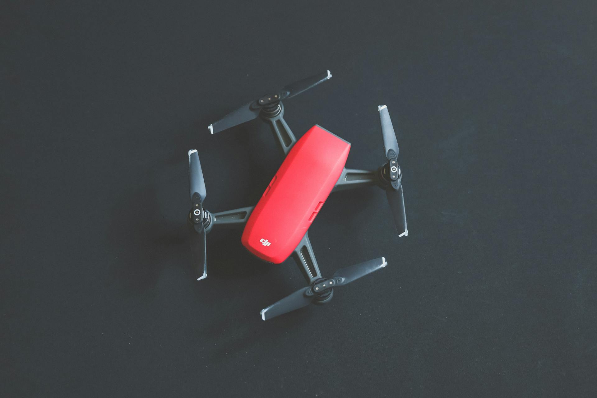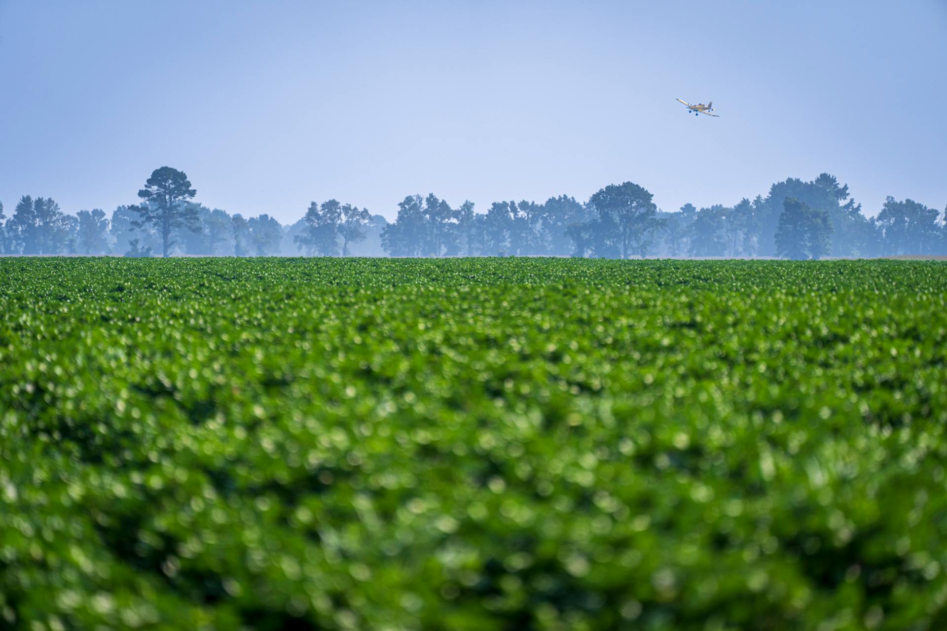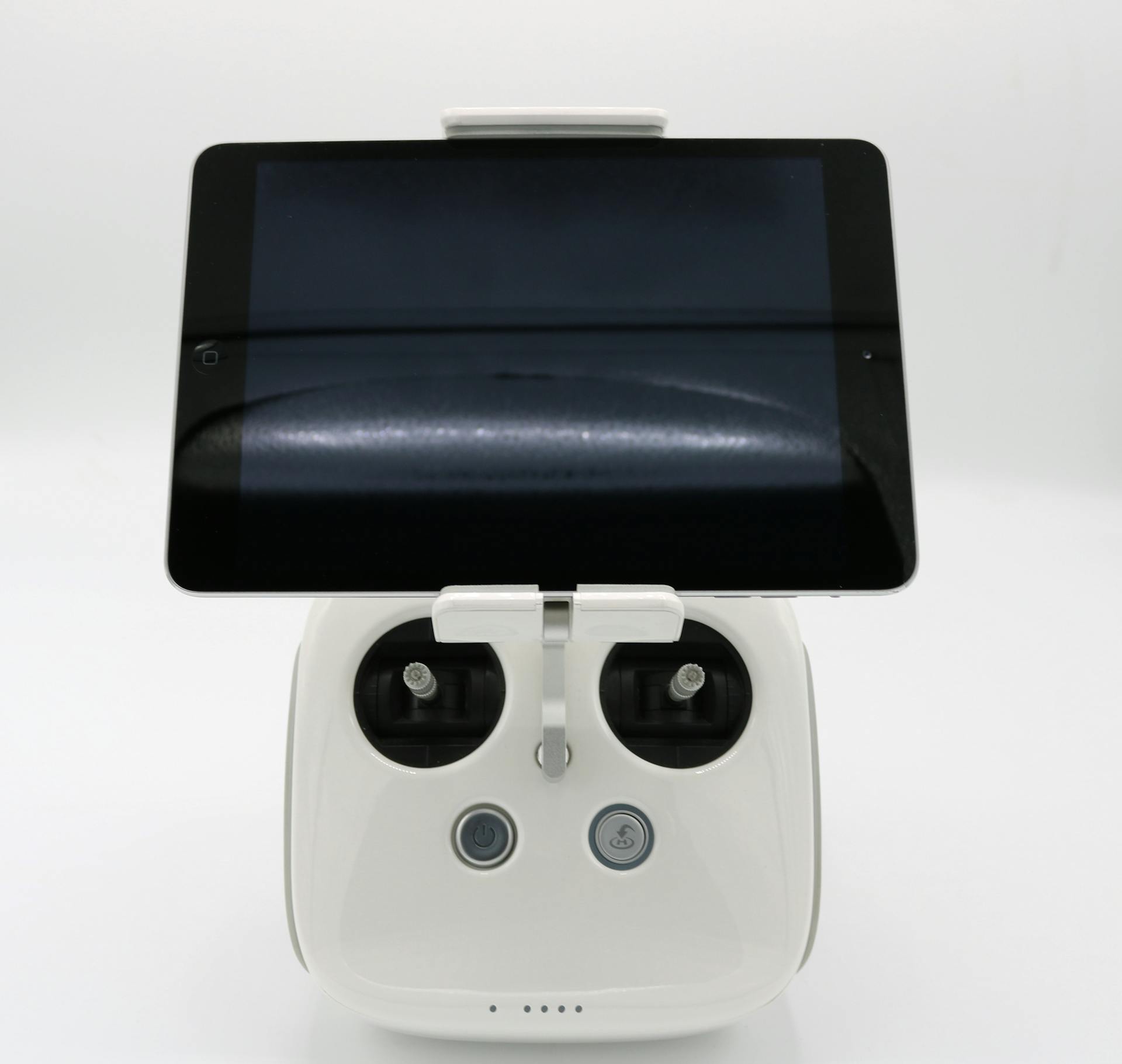
DJI agricultural drones are revolutionizing modern farming with their complete solutions. With the ability to provide real-time crop monitoring, farmers can now make data-driven decisions to optimize their yields and reduce waste.
DJI's Matrice 210 RTK, for instance, is a popular choice for farmers due to its high-resolution cameras and GPS capabilities. This allows for precise crop monitoring and mapping.
Farmers can also use DJI's drones to inspect their fields and detect any potential issues early on. This proactive approach can help prevent crop damage and reduce the need for costly repairs.
By leveraging DJI's agricultural drones, farmers can increase their efficiency and productivity while reducing their environmental impact.
For your interest: Agricultural Drone
Spraying and Mapping
The DJI agricultural drones are equipped with an advanced spraying system that ensures even and efficient pesticide application. This is made possible by the dual atomization technology, which produces uniform droplets that avoid splashing and dripping.
The dual atomized centrifugal nozzles have two spinners that make the droplets more uniform in size, preventing clogging when spraying powder-based chemicals. This results in a more precise application of pesticides, reducing waste and environmental impact.
Worth a look: Agricultural Spraying with Drones
The magnetic drive impeller pump is another key feature of the spraying system, completely isolating the pesticide from the motor to prevent corrosion and ensure ultra-durable performance. This design also allows for quick disassembly and easy cleaning of the aircraft.
The dual atomized spray disc ensures even droplets and more efficient pesticide usage, while the proprietary centrifugal valve prevents leakage and reduces pesticide use while protecting the environment. This is a game-changer for farmers looking to reduce their environmental footprint while maintaining crop health.
Explore further: Dji - Mini 2 Se Drone with Remote Control
Enhanced Safety
The T16 drone has a robust design that can withstand harsh farmland environments, passing tests such as corrosion prevention, high and low temperature, and aging tests.
This ensures peace of mind for the user, knowing that their drone can handle the toughest conditions. The IP67 rating provides reliable protection for key components, keeping them safe from dust and water.
The all-new modular design simplifies assembly and accelerates daily maintenance, making it easier to use and maintain. A light, yet durable airframe made of carbon fiber composites can be quickly folded to 25% of its original size, making it easy for transportation.
The T16 also features a powerful system with dual IMUs and barometers, and a propulsion signal redundancy design to ensure flight safety. This means that even if one component fails, the drone can still safely land.
With a GNSS+RTK dual-redundancy system, the T16 supports centimeter-level positioning, allowing for precise navigation. The dual-antenna technology provides strong resistance against magnetic interference, further enhancing safety.
The T16 also features a wide-angle FPV camera and spotlights that can monitor aircraft operation during the day and at night, ensuring flight safety. This advanced vision system provides an extra layer of protection and peace of mind for the user.
Related reading: UPS Flight Forward
Cloud and Software
The DJI Agras Intelligent Cloud is a powerful tool for precision agriculture. It pairs the AGRAS T40 with the Mavic 3 Multispectral to allow for variable spraying/spreading operations based on a farmland's prescription map.
This feature is particularly useful for tasks such as spraying fertilizers on rice, fertilizers and defoliants on cotton crops, and nutrient solutions on soybeans and corn. The precision and efficiency it provides can make a big difference in crop yields and quality.
Rantizo's new productivity software for spray drone operators makes it easier to manage jobs, gather billing information, and collect compliance data. This can save time and reduce administrative burdens for operators.
Ntrip Network Correction by State
Ntrip Network Correction by State is a game-changer for precise positioning.
In the US, Ntrip network corrections are available in all 50 states, providing users with reliable and accurate location data.
For example, in California, Ntrip corrections are available through the California Spatial Reference System (CaSPRS) network.
This network correction is particularly useful for applications that require high accuracy, such as surveying and mapping.
The Ntrip network correction system is also available in other states, including New York, Texas, and Florida.
In New York, the New York State Spatial Reference System (NYSSRS) network provides Ntrip corrections for users.
These corrections are essential for applications that rely on precise positioning, such as emergency response and logistics.
Ntrip network corrections are also available in other regions, including Europe and Asia.
In Europe, the EUREF Permanent Network (EPN) provides Ntrip corrections for users.
This network correction is particularly useful for applications that require high accuracy, such as geodesy and surveying.
The Ntrip network correction system is a powerful tool for precise positioning, and its availability in multiple states and regions makes it a valuable resource for users.
Additional reading: List of Unmanned Aerial Vehicle Applications
Intelligent Cloud
The DJI Agras Intelligent Cloud is a game-changer for farmers and agricultural professionals. It pairs the AGRAS T40 with the Mavic 3 Multispectral to enable variable spraying and spreading operations with precision. This is achieved by using the farmland's prescription map, making it a useful tool for tasks like spraying fertilizers on rice, fertilizers and defoliants on cotton crops, and nutrient solutions on soybeans and corn.
With the DJI Agras Intelligent Cloud, farmers can optimize their crop management and reduce waste. By using the prescription map, they can apply the right amount of fertilizers and nutrients to specific areas of the field.
Rantizo's new productivity software for spray drone operators makes it easier to manage jobs, gather billing information, and collect compliance data. This software is a great example of how technology can streamline processes and improve efficiency in agriculture.
The DJI Agras Intelligent Cloud is just one example of how technology is being used to improve crop management and reduce waste.
Expand your knowledge: Drones in Wildfire Management
T16 and T50
The T16 and T50 models from DJI agricultural drones are designed for high-performance spraying. The Agras T16 has an improved overall structure with a modular design, supporting the highest payload and widest spray width ever in a DJI agricultural drone.
With powerful hardware and an AI engine, the T16 brings operation efficiency to a whole new level. Its 3D-operation planning feature takes precision and speed to the next level, making it a valuable asset for farmers.
The Agras T16's modular design also makes it easier to transport and store, reducing downtime and increasing productivity.
T16
The T16 is a powerful agricultural drone that offers unrivaled performance with its improved overall structure and modular design. It supports the highest payload and widest spray width ever in a DJI agricultural drone.
The T16 Intelligent Flight Battery has a massive 17,500 mAh capacity and a 14S high voltage system that reduces power consumption. This results in increased heat dissipation efficiency, boosting performance.
With a 140% increase in heat dissipation efficiency, the T16 can operate for longer periods without overheating. This makes it ideal for long spraying missions.
T50 vs T25P
The DJI Agras T50 and T25P drones are two popular options for agricultural spraying. The T50 has a load capacity of 40 L of liquids or 50 kg of solids, while the T25P has a load capacity of 20 L of liquids or 25 kg of solids.
The T50 can cover up to 21 hectares per hour, significantly more than the T25P's 12 hectares per hour. This makes the T50 a better choice for large areas.
Both drones feature dual radar and binocular vision navigation technology, ensuring accurate and efficient spraying.
The T50 is less portable due to its focus on large areas, whereas the T25P is highly portable.
Here's a comparison of the two drones' features:
Market and Industry
The market for DJI agricultural drones has been growing rapidly, with over 300,000 drones in use across more than 100 countries and regions by the end of 2023.
This represents a significant increase from the 200,000 drones in operation by the end of 2022, which covered a cumulative farming area of over 200 million hectares.
DJI's annual report highlights the remarkable growth and impact of farming drones, with these drones treating over 500 million hectares of farmland by June 2024.
The widespread adoption of DJI agricultural drones is a testament to their effectiveness in saving water, reducing chemical usage, and cutting carbon emissions.
Here are some key statistics on the growth of DJI agricultural drones:
- Over 300,000 drones in use by the end of 2023
- More than 100 countries and regions using DJI agricultural drones
- Over 500 million hectares of farmland treated by June 2024
- 200,000 drones in operation by the end of 2022
- 200 million hectares of farmland covered by the end of 2022
Real-World Applications
DJI agricultural drones are being used in various real-world applications to improve farming efficiency and productivity. In Cambodia, farmers are using drones to boost cassava productivity, which provides employment to thousands of rural workers.
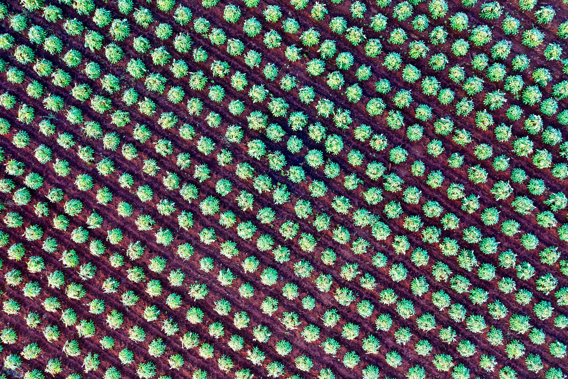
Precision farming is one of the key benefits of using drones in agriculture. By gathering precise data about a farm's fields, drones can produce detailed maps that show variations in soil and crop health, allowing farmers to selectively apply fertilizers and pesticides.
Drones are also used for crop health monitoring, where they can pinpoint disease, pests, or stress in plants before a farmer even spots trouble. This early action means fewer lost crops and better yields.
A fresh viewpoint: How Are Drones Used for Agricultural Purposes
Some drones are even equipped with thermal cameras, which can identify variations in soil moisture and detect areas of a field that may be over-irrigated or under-irrigated. This data can help farmers make better decisions on irrigation for efficient water usage and optimizing crop yield.
Here are some of the ways DJI agricultural drones are transforming farming:
- Precision farming
- Crop health monitoring
- Irrigation management
- Planting
- Livestock monitoring
- Estimating crop yields and growth
- Research & development
These applications are not only improving crop yields but also reducing water usage and chemical waste.
Rice Farming in Vietnam
Rice Farming in Vietnam is a significant sector, with Vietnam being the world's second-largest rice exporter. This has led to the adoption of innovative technologies like drones.
XAG's agricultural drones have become the go-to choice for many farmers in Vietnam who grow rice. They're considered the "new favorite" among these farmers, indicating a high level of satisfaction with their performance.
Hawaii's Beetle Battle
Hawaii is using drones to battle a species of rhinoceros beetle that's ravaging its coconut trees.
The drones are being used to target the coconut rhinoceros beetle, which is a rapidly growing and destructive invasive pest.
This is a creative solution to a real-world problem, and it's great to see innovative technology being used to protect Hawaii's iconic coconut trees.
The drones are being deployed by XAG, a company that specializes in agricultural technology.
In fact, XAG has already been working with Ecuador to use drones for agricultural purposes.
Brazil Tackles Climate Change with Tree-Planting
Brazil is tackling climate change in a creative way by using drones to plant trees. The country has pledged to end and reverse deforestation by 2030.
Brazil has the world's second-largest forest area, which makes it a significant player in the fight against climate change. This massive forest area is a crucial carbon sink that helps to regulate the planet's climate.
The use of drones to plant trees is an innovative approach to meet Brazil's urgent climate goals. Planting trees by hand is a slow process that cannot keep up with the pace of climate change.
Brazil's experiment with tree-planting drones is focused on spawning native tree species. This approach ensures that the trees being planted are well-suited to the local environment and can thrive with minimal maintenance.
7 Ways to Benefit Farmers and Research Bodies
Farmers and research bodies can benefit from drones in numerous ways. Drones gather precise data about a farm's fields, using sensors and imaging capabilities to produce detailed maps that show variations in soil and crop health.
With this intel, farmers can selectively apply fertilizers and pesticides, maximizing yield and minimizing expenses. This is particularly useful for large-scale producers who can use drones like the DJI Agras T50 to cover vast areas.
Crop health monitoring is another area where drones excel. Equipped with multispectral and hyperspectral sensors, drones can pinpoint disease, pests, or stress in plants before a farmer even spots trouble.
Early action means fewer lost crops, and drones can also help with irrigation management. Thermal cameras can identify variations in soil moisture and detect areas of a field that may be over-irrigated or under-irrigated.
Farmers can use this data to make better decisions on irrigation for efficient water usage and optimizing crop yield. Some drones even plant seeds, firing seed pods packed with nutrients into the ground.
Expand your knowledge: Use of UAVs in Law Enforcement
For farmers with large pastures or rangelands, monitoring livestock can be time-consuming. With an aerial view of the livestock, farmers can ensure that their herds are healthy, well-fed, and safe from predators.
Here are the 7 ways drones can benefit farmers and research bodies:
- Precision Farming: Drones gather precise data about a farm's fields.
- Crop Health Monitoring: Drones can pinpoint disease, pests, or stress in plants.
- Irrigation Management: Drones can identify variations in soil moisture and detect areas of a field that may be over-irrigated or under-irrigated.
- Planting: Some drones plant seeds, firing seed pods packed with nutrients into the ground.
- Livestock Monitoring: Drones can provide an aerial view of livestock, helping farmers ensure their herds are healthy and safe.
- Estimating Crop Yields and Growth: Drones can estimate crop yields and monitor growth stages.
- Research & Development: Drones help scientists study plant growth and crop response to different inputs.
By using drones for these tasks, farmers and research bodies can make informed decisions, reduce costs, and promote sustainable agriculture.
Frequently Asked Questions
How many acres can a DJI T40 spray?
The DJI T40 can spray approximately 52.71 acres per hour, depending on the operating environment and parameters. Learn more about its flight parameters and efficiency in paddy field operations.
How long is the flight time for the DJI agriculture drone?
Flight time for the Agras T50 drone is approximately 7-10 minutes per battery charge
Sources
- https://e38surveysolutions.com/products/dji-agras-t40-agricultural-drone-ready-to-fly-kit
- https://www.dominiondrones.com/products/dji-agras-t16-agriculture-drone-ready-to-fly-kit
- https://hp-drones.com/en/differences-between-dji-agriculture-drones-t5o-and-t25/
- https://dronedj.com/guides/agriculture/
- https://www.dslrpros.com/agriculture.html
Featured Images: pexels.com


