Drones are revolutionizing the way we manage wildfires. They can be equipped with high-resolution cameras and sensors to capture detailed images of fire perimeters and hotspots.
Drones can fly over remote areas and reach inaccessible terrain, providing valuable insights that would be difficult or impossible to obtain otherwise. This is especially true in areas with dense vegetation or rugged terrain.
With drones, firefighters can quickly identify areas of high risk and prioritize their efforts accordingly. For example, a drone might detect a spot fire in a densely wooded area, allowing firefighters to respond quickly and contain the blaze.
Drones can also be equipped with specialized sensors to detect heat signatures, smoke, and other signs of wildfires. This information can be used to create detailed maps of fire activity, helping firefighters to track the spread of the fire and make informed decisions about how to combat it.
You might enjoy: High Altitude Long Endurance Uav
Benefits and Advantages
Drones in wildfire management offer numerous benefits and advantages that can significantly improve the safety, efficiency, and effectiveness of firefighting operations.
They can rapidly deploy to challenging areas, navigating narrow spaces and flying over obstacles, which improves response times and containment efforts.
Public safety drones can reach heights inaccessible to firefighters, providing real-time data on fire behavior, temperature, and smoke patterns that help incident commanders and firefighters adjust their strategies.
This data is crucial for making informed decisions and achieving more effective firefighting efforts.
Drones also offer a cost-effective and efficient alternative to traditional firefighting methods, requiring fewer personnel on the ground and reducing reliance on expensive equipment.
By integrating drones into firefighting efforts, significant cost savings can be achieved, especially during nighttime operations.
Drones can operate around the clock, eliminating the need for additional manpower, which is a major advantage in wildfire management.
A unique perspective: Dji - Mini 2 Se Drone with Remote Control
Drones in Wildfire Management
Drones are used to monitor wildfire progression, map affected areas, and provide real-time data to support firefighting efforts and evacuation planning.
Drones can track smoke plumes from fires, helping to understand their spread and impact on air quality, which is vital for issuing public health advisories. This helps firefighters make informed decisions about resource allocation and evacuation.
Drones are equipped with thermal cameras that detect hotspots and locate trapped individuals. This information helps prioritize efforts and deploy resources effectively.
Drones can assist in locating missing persons or trapped individuals in smoke-filled or otherwise inaccessible areas, providing crucial information for rescue operations.
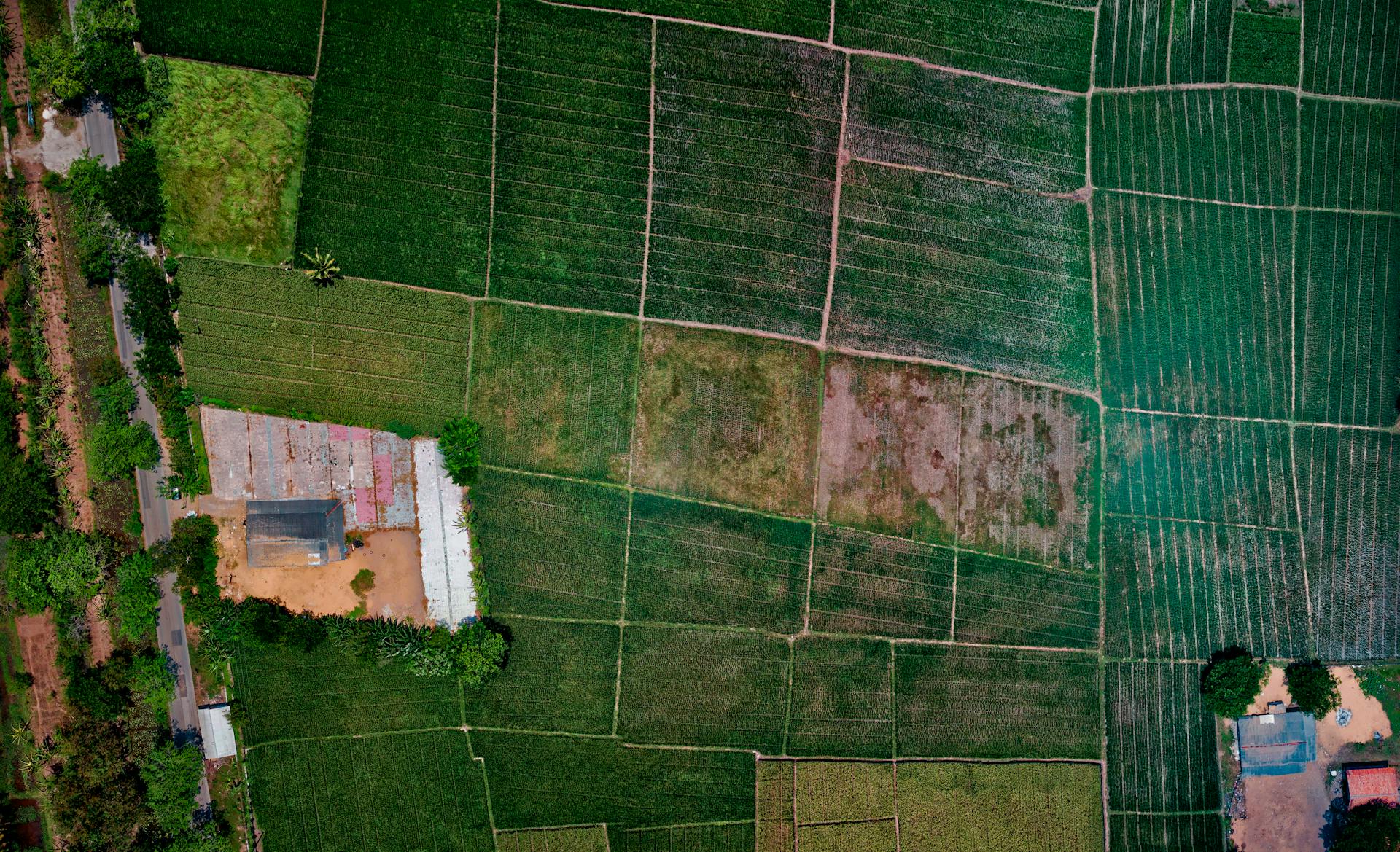
Drones assess vegetation and fuel loads in wildfire-prone areas, helping to plan controlled burns and other preventative measures to reduce fire risk.
Drones track smoke plumes from fires, helping to understand their spread and impact on air quality, which is vital for issuing public health advisories.
Key Drone Capabilities in Wildfire Management
- Monitor wildfire progression
- Map affected areas
- Provide real-time data to support firefighting efforts and evacuation planning
- Detect hotspots and locate trapped individuals
- Assist in search and rescue operations
- Assess vegetation and fuel loads
- Track smoke plumes from fires
Post Incident Management
Drones play a vital role in the post-fire assessment and recovery phase by capturing aerial imagery and conducting surveys of the affected areas.
High-resolution point cloud maps and 3D models created by drones help assess the extent of damage to structures, vegetation, and infrastructure.
These maps and models are crucial for insurance claims, post-fire investigations, and planning the recovery and restoration process.
Drones can document the extent of the damage, identify potential structural weaknesses, and provide data for after-action reviews.
Thermal sensors on drones can detect heat signatures, helping to identify areas that may still be at risk.
Drones and Technology
Drones are revolutionizing the way we fight wildfires. They're providing critical data to firefighters on the ground, even in environments with severely limited visibility.
Researchers at Carnegie Mellon University have developed a drone that can fly through smoke to create real-time maps of wildfires. This is a game-changer for firefighters who need to know the exact location and spread of a fire.
A drone developed in Portugal can shoot water at fires, targeting specific hotspots and making it a valuable tool for combating wildfires and other fire emergencies. This is a great example of how drones can directly engage in firefighting.
Drone swarms are also being investigated for their potential to revolutionize firefighting operations. These swarms can cover large areas quickly, providing comprehensive aerial surveillance and coordinated responses to fire incidents.
Popular Drones for Wildfire Management
Drones are being increasingly used in wildfire management due to their ability to quickly assess and monitor fire situations. They can fly over vast areas and provide valuable insights to firefighters.
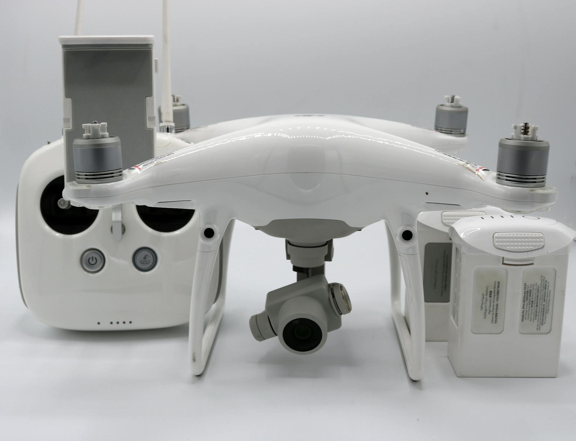
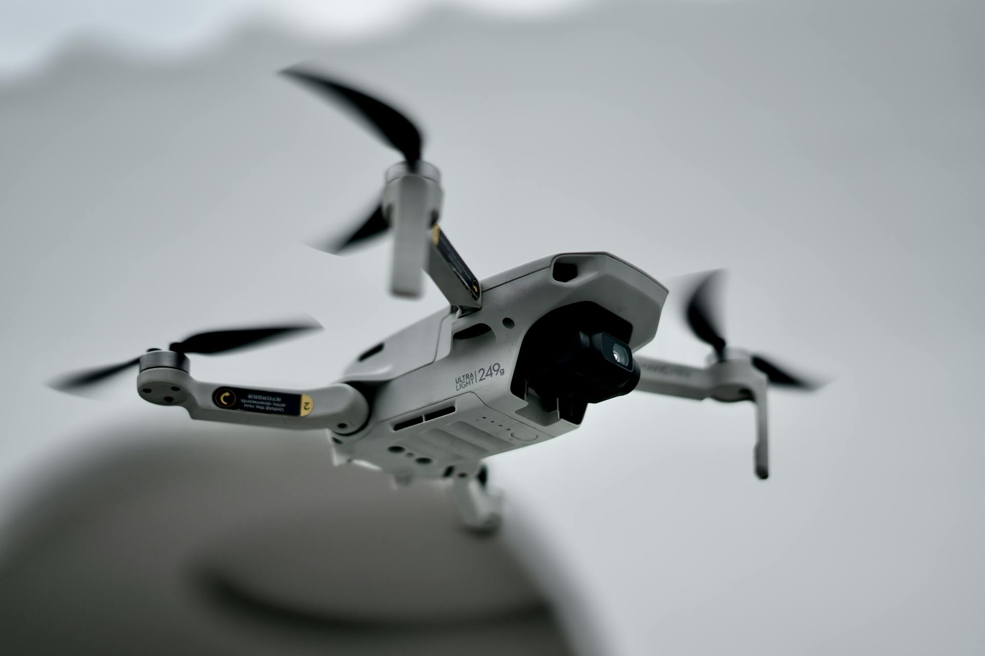
The DJI Mavic 3T is a compact drone that comes equipped with dual cameras for visible and thermal imaging, making it an ideal tool for assessing fire damage and identifying hotspots. Its compact size also allows it to be easily transported to remote areas.
The Autel EVO II Dual 640T is another popular drone used in wildfire management, featuring dual thermal imaging and visible light cameras. This drone is particularly useful for detecting heat signatures and identifying potential fire hazards.
In addition to these drones, the JOUAV CW-15 VTOL is an autonomous drone designed specifically for firefighting operations. It offers a flight time of up to 180 minutes and a 50km transmission and control range, making it an ideal tool for long-duration missions.
Here are some popular drones used in wildfire management:
The JOUAV CW-30E VTOL is another drone designed for long-endurance missions, offering a flight time of up to 480 minutes and a 200km transmission and control range. This drone is equipped with a high-resolution thermal imaging camera and a 30x zoom visible light camera, making it an ideal tool for identifying and tracking fire points.
In summary, drones are playing an increasingly important role in wildfire management, providing valuable insights and helping firefighters to assess and monitor fire situations more effectively.
For more insights, see: Military Drone with Camera
Applications and Uses
Drones in wildfire management have proven to be a game-changer in combating large-scale wildfires. JOUAV drones have been used in two remarkable case studies in Chongqing and Qinghai, showcasing their effectiveness in firefighting.
JOUAV drones have been used to combat large-scale wildfires in Chongqing and Qinghai, respectively. Firefighting drones are being used in a variety of ways, with 19 common applications in the field.
Firefighting drones are being used for reconnaissance, allowing firefighters to quickly assess the situation and identify areas of high risk. Drones can fly over wildfires at a much faster pace than traditional aircraft, providing real-time information to firefighters on the ground.
In addition to reconnaissance, drones are also being used for monitoring and tracking wildfires, helping firefighters to stay one step ahead of the blaze. This information is critical in helping firefighters to make informed decisions about how to combat the fire.
Drones are also being used to drop water or fire retardant on wildfires, helping to slow the spread of the fire. This is particularly effective in hard-to-reach areas where traditional firefighting methods may not be possible.
In some cases, drones are being used to locate and rescue people trapped in wildfires. This is a critical application of drones in firefighting, as every minute counts in saving lives.
On a similar theme: How Are Drones Used for Agricultural Purposes
Delivering Emergency Supplies
Drones can deliver emergency supplies, such as water, medical kits, or fire suppressants, to firefighters in hard-to-reach locations or during critical situations.
This capability is especially important in areas where traditional methods of supply delivery are difficult or impossible.
Drones equipped with delivery systems can provide targeted support to firefighters, helping them stay focused on fighting the fire.
In fact, solutions like FlytBase have been developed to further enhance firefighting capabilities, enabling the establishment of efficient command centers and automated drone response systems.
On a similar theme: Puma Unmanned Aerial Systems
Public Safety and Awareness
Drones equipped with loudspeakers can broadcast emergency messages and evacuation orders to residents during wildfires or large-scale fire incidents, enhancing communication and safety.
Drones provide valuable insights about fire intensity, structure, and potential dangers, helping firefighters make informed decisions on resource allocation and evacuation routes.
Thermal drones detect hotspots and locate trapped individuals, allowing for prioritization of efforts and deployment of resources effectively.
High-resolution cameras on drones capture the dynamic nature of fires, allowing accurate assessment of size, spread, and behavior.
Drones equipped with thermal imaging technology provide real-time aerial footage and data, enhancing situational awareness for better decision-making regarding firefighting strategies.
Drones can broadcast emergency messages and evacuation orders to residents, potentially saving lives by identifying those in need of immediate rescue.
Drones help commanders make informed decisions on resource allocation, evacuation, and firefighting strategies, ensuring the safety of both firefighters and affected individuals.
Forest fires can move in any direction depending on the wind, making it crucial for firefighters to have accurate information about the spread and direction of the fire.
The Future
As we look to the future of drones in wildfire management, it's clear that their role will only continue to grow. Drones are expected to become even more integrated into firefighting operations, with the ability to detect and track fires from the air.
In the near future, drones will likely be equipped with advanced sensors and cameras that can detect heat signatures and track the spread of fires. This will enable firefighters to respond more quickly and effectively to emerging threats.
Drones are already being used to map fire perimeters and identify areas of high risk, and this technology will only improve in the coming years.
Frequently Asked Questions
How are drones used in disaster management?
Drones are used in disaster management to quickly locate missing people and animals in hard-to-reach areas, such as damaged buildings and rugged terrain. Equipped with multispectral sensors, they can detect body heat and aid in search and rescue missions.
Sources
- https://www.jouav.com/blog/drones-in-firefighting.html
- https://www.flytbase.com/blog/drones-in-forest-fire-response
- https://uavcoach.com/drones-fire-departments/
- https://www.commercialuavnews.com/public-safety/uas-in-aerial-firefighting-how-are-drones-addressing-our-growing-wildfire-challenges
- https://www.mdpi.com/journal/drones/special_issues/UAV_wildfire
Featured Images: pexels.com


