Conservation drones are revolutionizing the way we monitor and protect our environment. They can fly over vast areas, collecting data and images that would be impossible for humans to gather.
These drones are equipped with high-resolution cameras, sensors, and GPS technology, allowing them to capture detailed information about the terrain, vegetation, and wildlife. They can even detect signs of deforestation, wildfires, and other environmental threats.
By using conservation drones, we can respond quickly to emergencies and make more informed decisions about conservation efforts. For example, they can help track the spread of invasive species, monitor water quality, and identify areas that need restoration.
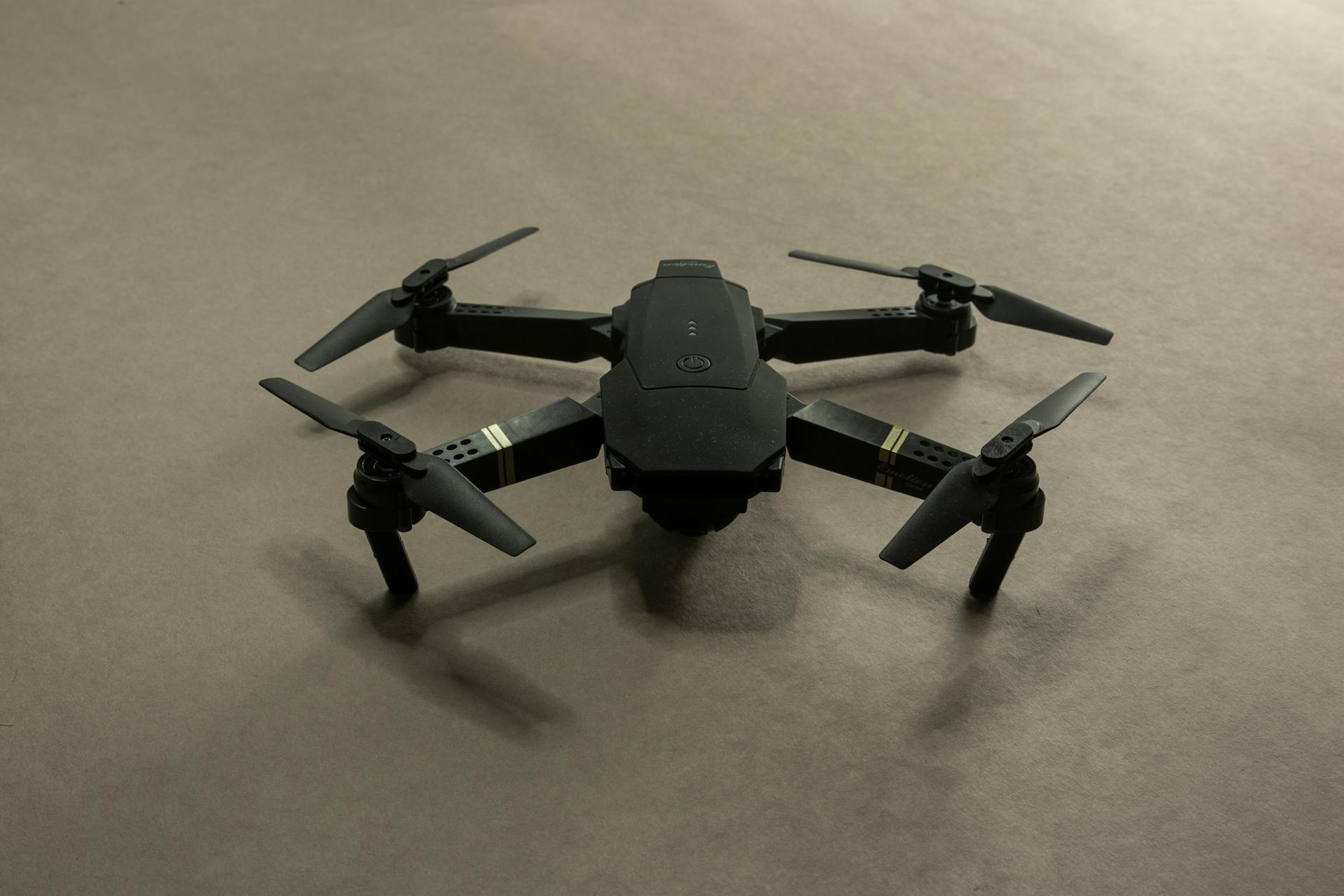
Conservation drones are not only effective tools for conservation, but they're also relatively affordable and easy to operate.
Conservation Drones
Drones play a critical role in biodiversity conservation by enabling the detailed mapping of habitats and the species that inhabit them.
The use of drones in Tierra del Fuego's Karukinka Park has been instrumental in scaling and elevating conservation efforts, enabling the direct monitoring of species such as guanacos, foxes, elephant seals, and black-browed albatrosses.
Drones help identify patterns of habitat use and the impacts of human activity on wildlife corridors, which are essential for the movement of species across landscapes.
In marine environments, drones are used to map coral reefs and assess their health, which is vital for marine biodiversity.
Drones provide high-resolution imagery that can detect changes in reef structures, track bleaching events, and monitor the recovery of reefs over time.
The precision data collected by drones is also instrumental in crafting targeted conservation strategies, such as identifying specific areas suffering from degradation and intervening appropriately.
Drones can facilitate the restoration of ecosystems by mapping degraded areas for reforestation and tracking the progress and success of these initiatives.
Regular drone flights can track changes in environmental conditions over time, providing valuable data that can be used to assess the effectiveness of pollution control measures and refine environmental policies.
Drones can be deployed swiftly in response to environmental emergencies, such as chemical spills, oil leaks, or unusual emissions from industrial sites, allowing for immediate assessment of the situation and helping to limit environmental damage.
In urban planning, data collected by drones can help in designing green zones that reduce air pollution or managing water runoff in ways that minimize contamination of waterways.
Drones offer a sustainable option for long-term environmental management, providing a versatile platform for data collection and resource management.
Consider reading: Drones in Wildfire Management
Applications and Uses
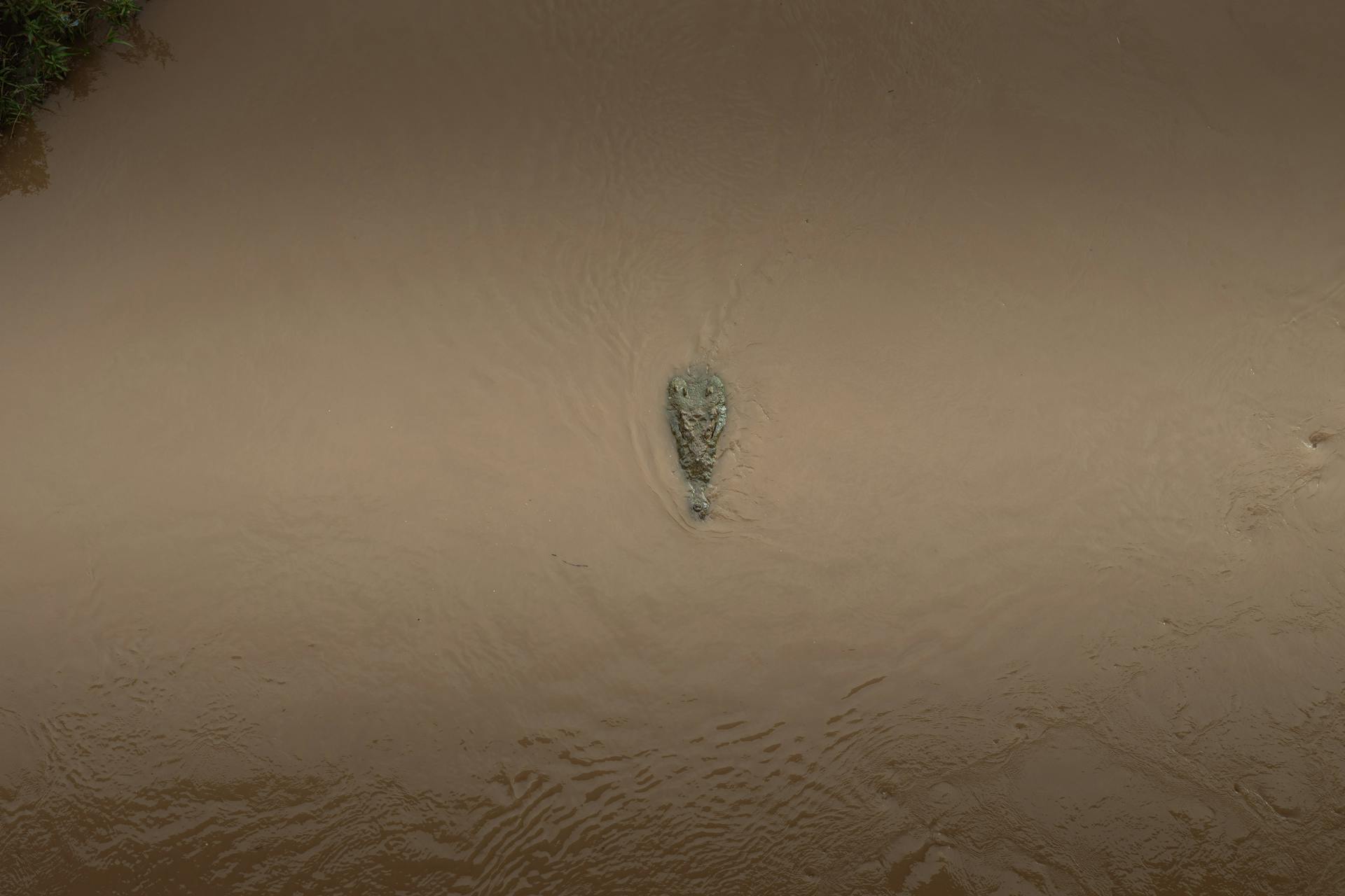
Drones are being used to monitor wildlife populations with minimal invasiveness, providing unprecedented insights into their natural behaviors and habitats.
Their versatility in accessing remote areas makes them an indispensable tool in wildlife conservation.
Drones can fly over hard-to-reach areas, transmitting live footage back to control centers, where experts can analyze it in real-time.
This allows for the immediate identification of suspicious activities, such as the movement of trucks at odd hours or the presence of unauthorized personnel in protected zones.
Drones equipped with thermal imaging technology can detect heat signatures from humans and vehicles, making it easier to spot illegal loggers even when they attempt to hide or operate under the cover of darkness.
The precision data collected by drones is instrumental in crafting targeted conservation strategies, such as identifying areas suffering from degradation and intervening appropriately.
Drones can also facilitate the restoration of ecosystems by mapping degraded areas for reforestation and tracking the progress and success of these initiatives.
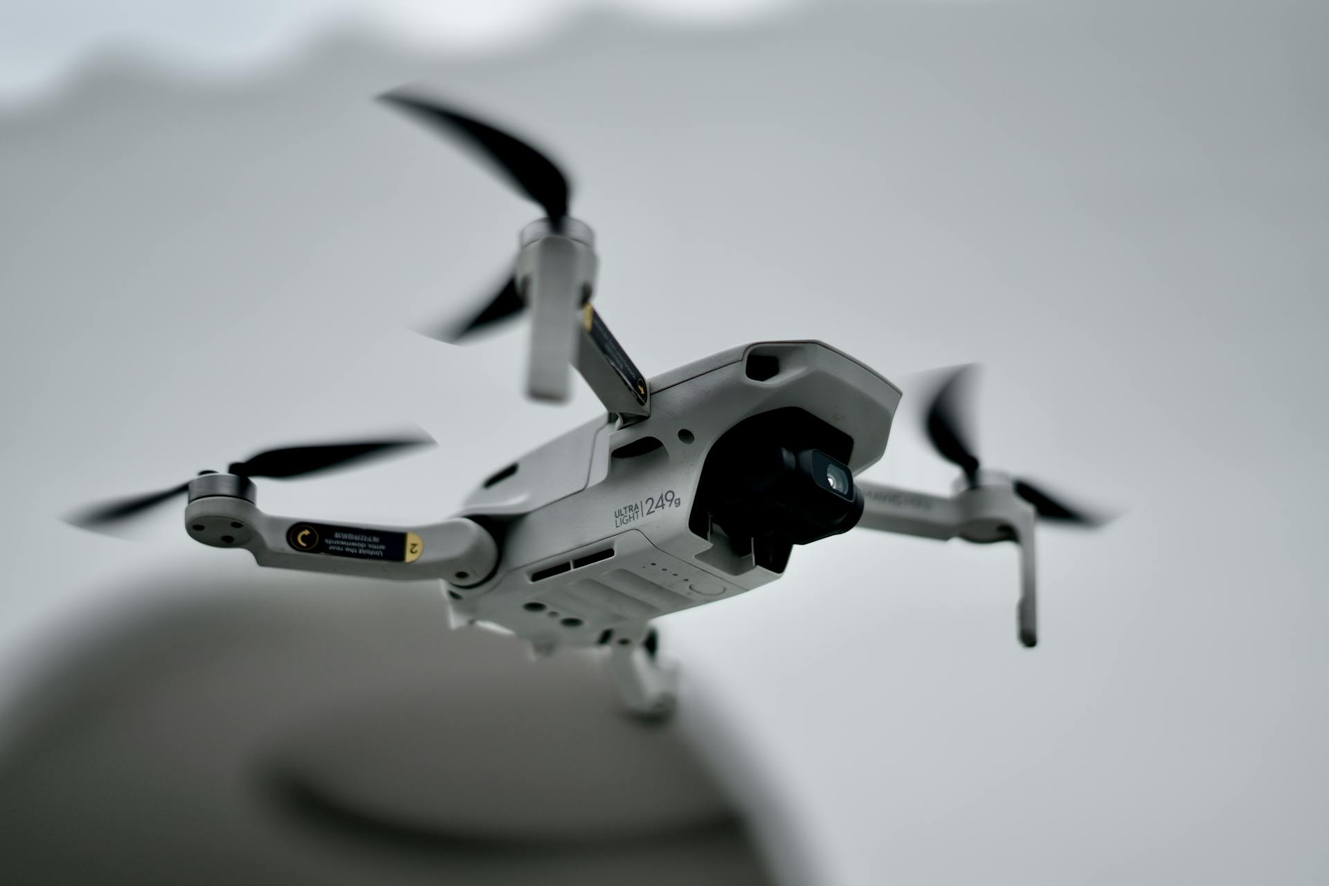
If this caught your attention, see: Dji - Mini 2 Se Drone with Remote Control
Regular drone flights can track changes in environmental conditions over time, providing valuable data for assessing the effectiveness of pollution control measures and refining environmental policies.
This data can also help in designing green zones that reduce air pollution or managing water runoff in ways that minimize contamination of waterways.
Drones can identify areas of pesticide runoff that may be affecting nearby natural habitats, allowing for the implementation of corrective measures to prevent further harm.
The mere presence of drones can act as a significant deterrent to illegal loggers, knowing that the area is under constant surveillance and that their illegal activities can be spotted and responded to swiftly.
Utilizing drones for surveillance is not only more effective but also more cost-efficient compared to traditional methods, reducing the need for extensive manpower and cutting operational costs.
This efficiency makes drones an attractive option for conservation agencies, especially those operating with limited budgets in developing countries where illegal logging is most rampant.
Technologies and Methods
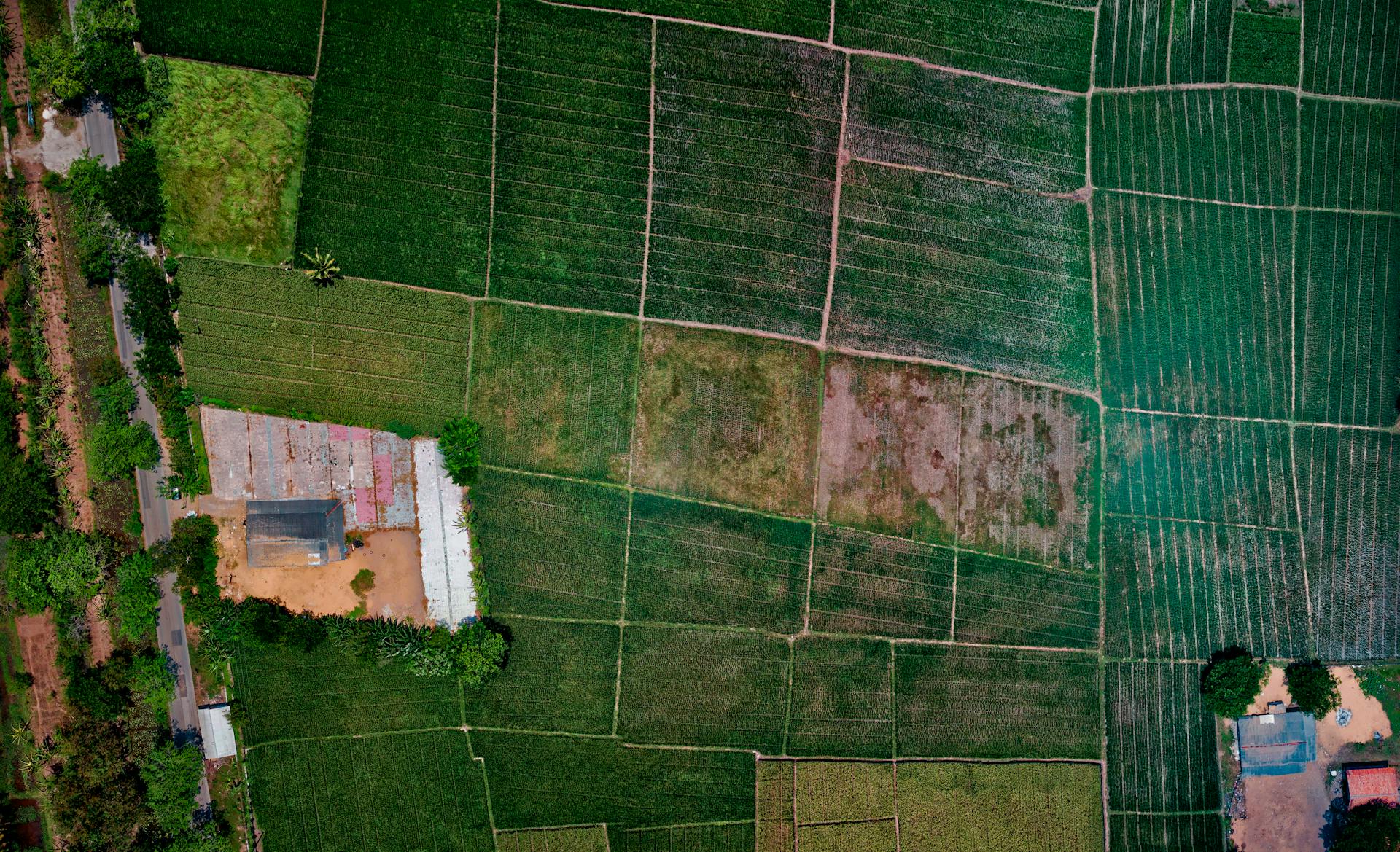
Conservation Drones use aerial imagery to capture hundreds of images that are combined into one big map with 2 centimeters resolution/pixel, making them more detailed than Google Earth maps.
These drones can map various landscapes, such as ocean waters, forests, and depict a timeline of ecological issues, making them useful for monitoring U.S. National Parks and wildlife safe zones.
In tropical forests, Conservation Drones have had field tests due to ongoing deforestation, which contributes 15% of global greenhouse gas emissions, disturbing global forests at a rate of 13 million hectares in recent years.
With a 100% success rate from 32 missions, these drones have aided research on climate change by locating areas of deforestation.
Thermal cameras on drones can identify cryptic species that are difficult to spot with the naked eye, and increasingly sophisticated processing software makes it faster to analyze the images.
Drones are a safer, more cost-effective, and less disruptive way to quickly survey vast swathes of land compared to piloted aircraft.
Conservation Drones can be used to study and protect animal populations with minimal invasion, providing unprecedented insights into the natural behaviors and habitats of diverse species.
LiDAR and multispectral drones can collect vital forestry data to preserve critical habitats, such as those of the Monarch butterfly, which is under threat from environmental changes and habitat destruction.
Working with drones is far more efficient, enabling the collection of year-on-year data in a single day, compared to the 6 days required on foot.
Case Studies and Success Stories
Conservation drones have made a significant impact in protecting wildlife and collecting valuable data.
Drones equipped with night-vision cameras have been used to patrol African game reserves, providing live feeds to conservation teams and significantly increasing response times of anti-poaching units.
In marine environments, drones conduct aerial surveys to count sea turtle nests and track hatching success rates without disturbing the nests.
Scientists use drones to monitor penguin colonies in Antarctica, capturing colonies spread over 2 square kilometers in just 2 days.
A different take: Skydio 2
The use of drones has reduced the time it takes to capture data from 2 days to just 3 hours, thanks to a new flight path algorithm that enables autonomous flying of multiple drones.
Researchers have trained machine learning algorithms to automatically detect and classify penguins in the massive drone data, making it easier to gather accurate aerial data quickly and efficiently.
Drones have proven to be a valuable tool in wildlife conservation, providing a cost-effective and non-intrusive way to monitor wildlife populations and habitats.
Sources
- https://en.wikipedia.org/wiki/Conservation_Drones
- https://terra-drone.com.sa/drones-in-conservation-a-new-eye-in-the-sky/
- https://www.washingtonnature.org/fieldnotes/2023/8/8/taking-flight-how-drones-amplify-conservation-efforts
- https://enterprise-insights.dji.com/blog/wildlife-conservation-drones
- https://wildlifedrones.net/drones-for-wildlife-conservation/
Featured Images: pexels.com


