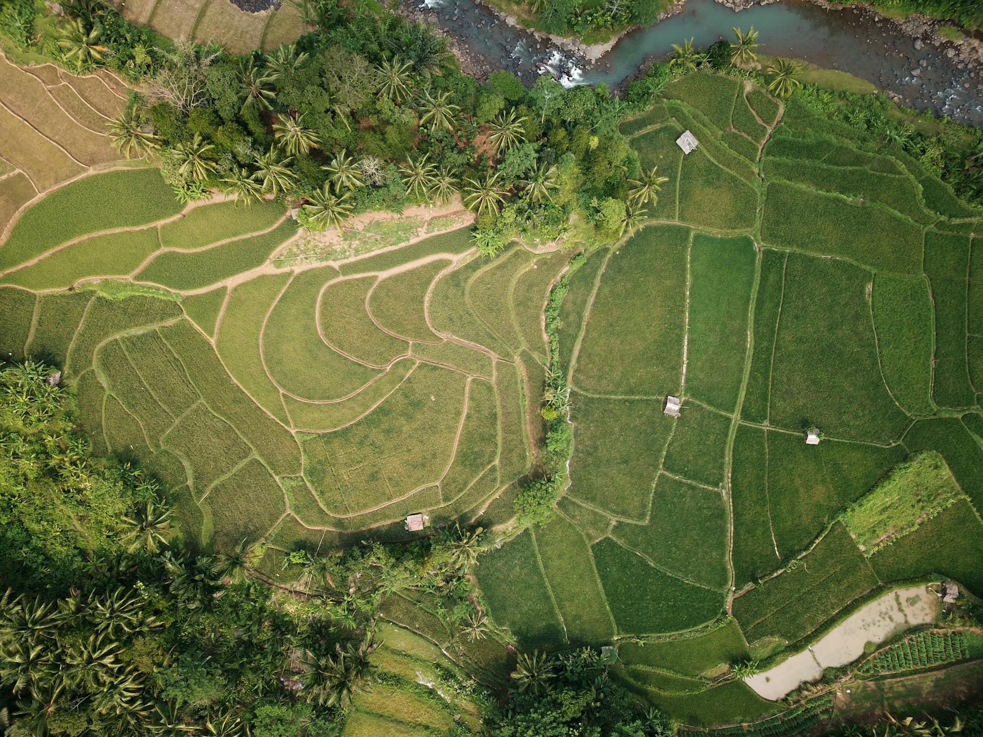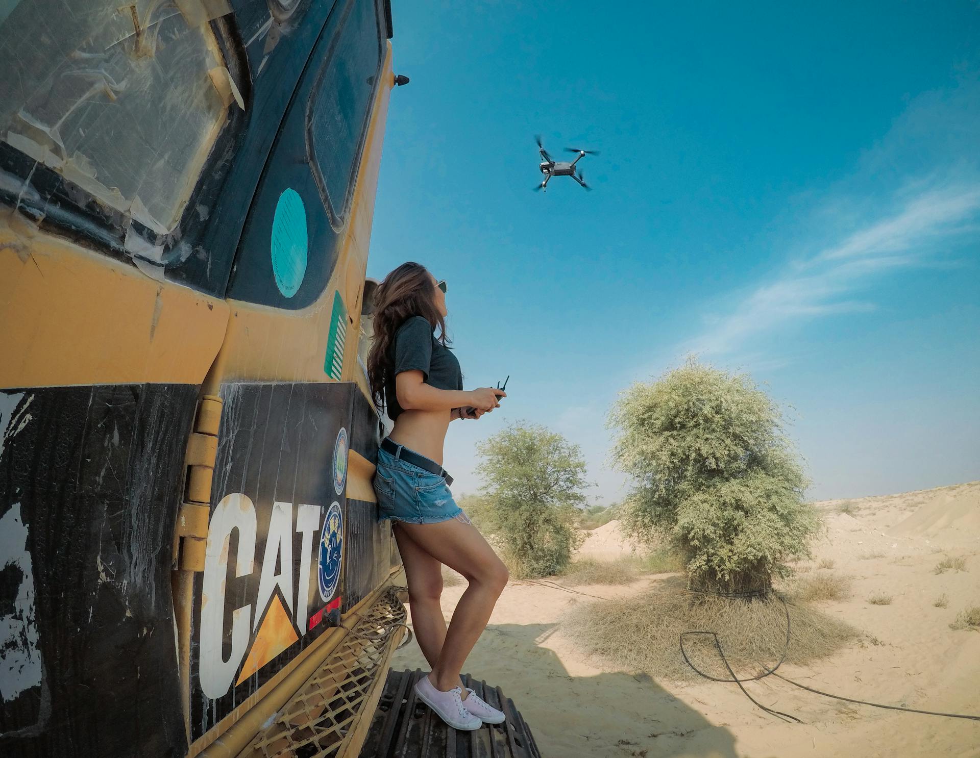
The unmanned aerial photogrammetric survey process is a fascinating and efficient way to capture high-resolution aerial data. This process involves a series of steps that ensure accurate and reliable results.
Planning is a crucial step in the process, where the survey area is identified and the required data is determined. This includes deciding on the number of flights, the altitude, and the resolution of the images.
The survey area is then flown over using a drone equipped with cameras, capturing a large number of images from different angles. The images are taken at a resolution of up to 12 megapixels, allowing for detailed analysis.
The images are then processed using specialized software, which creates a 3D model of the survey area. This model can be used to extract various types of data, including elevation models, orthomosaics, and point clouds.
What is Unmanned Aerial Photogrammetric Survey?
A drone survey is a process that uses a drone to capture aerial data with downward-facing sensors, such as RGB or multispectral cameras, and LIDAR payloads.
The drone flies over the project area, photographing the ground from different angles, and each image is tagged with coordinates. This data is then used to create geo-referenced orthomosaics, elevation models, or 3D models of the area.
Drones can fly at a much lower altitude than manned aircraft or satellites, making it possible to generate high-resolution, high-accuracy data much faster and less expensively.
Worth a look: High Altitude Long Endurance Uav
Benefits and Advantages
Drones can cover hundreds of hectares in just a couple of flights, making them a game-changer for surveying.
Faster data acquisition is one of the main advantages of using drones for photogrammetry, thanks to technologies like real-time kinematic (RTK) and post-processed kinematic (PPK).
Drones can approach areas unreachable by foot or by car, giving you a unique perspective on your survey area.
Here are some key benefits of using drones for photogrammetry:
- Faster data acquisition
- UAV equipment is less expensive than traditional land survey equipment
- Drones can approach areas unreachable by foot or by car
Drones are also a cost-effective option, with entry-level camera drones available for under $500 and leasing options starting at $1,000 USD/month.
Benefits of

Drones have revolutionized the way we conduct surveys, and the benefits are numerous. They can cover hundreds of hectares in just a couple of flights, making them an incredibly efficient tool for surveying large areas.
One of the main advantages of drones is their speed. With real-time kinematic (RTK) and post-processed kinematic (PPK) technologies, there's no need to place ground control points (GCP) for many applications, allowing for faster data acquisition.
Drones are also much more affordable than traditional land survey equipment, with entry-level camera drones available for under $500. This makes them a cost-effective option for many projects.
In fact, hiring a drone service provider can be a more affordable option than hiring a manned aircraft pilot, who can cost thousands of dollars per day. Satellites, on the other hand, can cost tens of millions of dollars.
Drones are also incredibly versatile, able to be equipped with a variety of sensors such as cameras, LiDAR, thermal cameras, and more. This allows them to collect data for a wide range of applications, including mapping, surveying, and 3D modeling.
For more insights, see: List of Unmanned Aerial Vehicle Applications
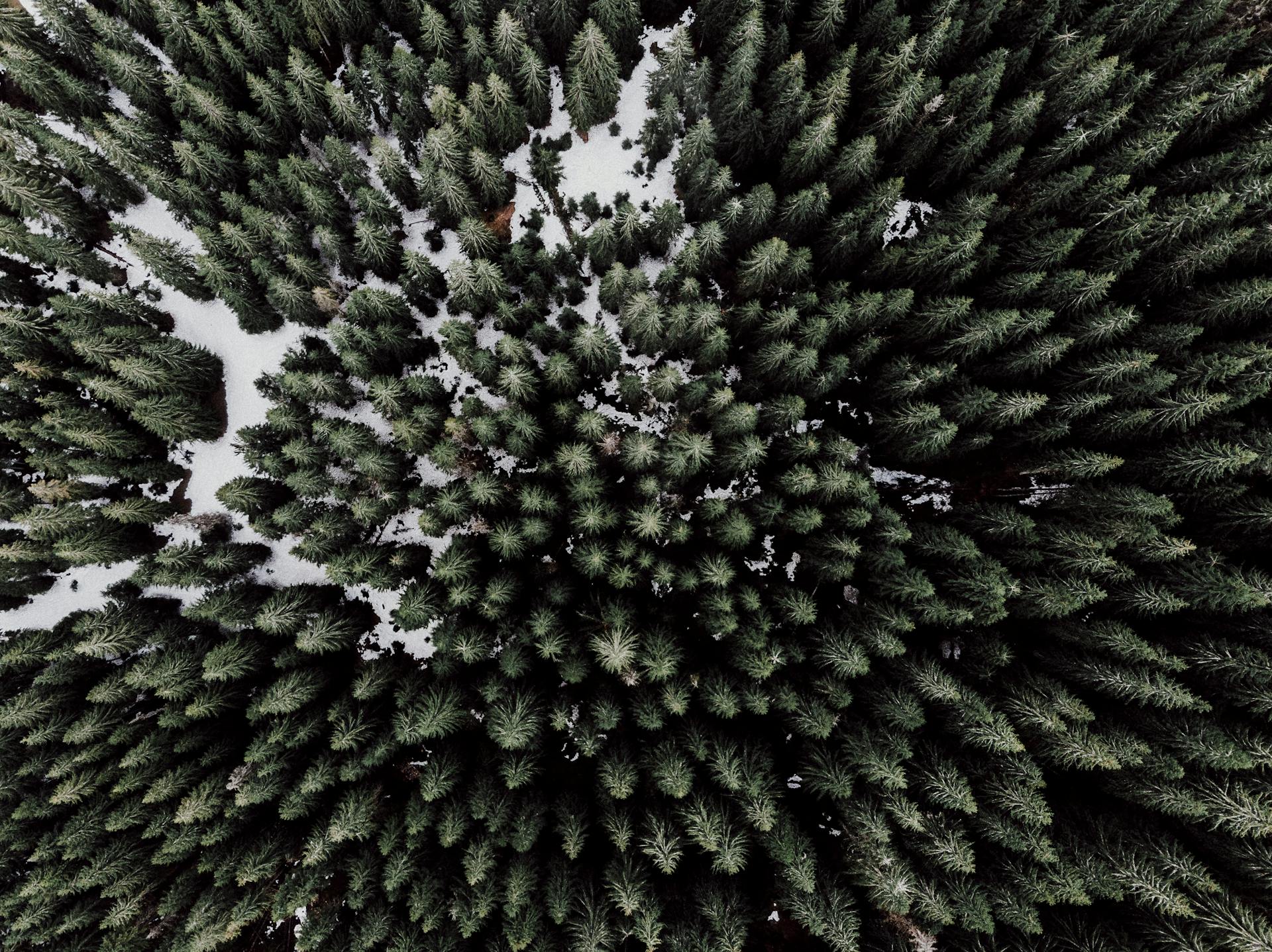
Here are some of the main benefits of using drones for photogrammetry:
- Faster data acquisition with RTK and PPK technologies
- Less expensive than traditional land survey equipment
- Can approach areas unreachable by foot or by car
These benefits make drones the clear choice for most photogrammetry applications, and with the right software, such as UgCS by SPH Engineering, you can ensure professional land survey mission planning using the photogrammetry technique.
What Are the Best?
The best benefits of a particular advantage often depend on individual circumstances, but some stand out as particularly effective.
Regular exercise can improve mental health, with studies showing that physical activity can reduce symptoms of anxiety and depression by up to 50%.
A balanced diet is essential for maintaining energy levels and supporting overall well-being, with a daily intake of fruits and vegetables recommended to achieve optimal health.
Proper sleep habits are crucial for physical and mental restoration, with most adults needing 7-9 hours of sleep each night to feel rested and refreshed.
Consistency is key when it comes to achieving long-term benefits, with small, incremental changes to daily habits often leading to more significant and lasting results over time.
Construction Industry
Construction sites are often large and complex, making it difficult to get a clear overview of the project. This can lead to errors and delays.
Drones can be used to create a detailed map of a construction site, allowing for better planning and coordination. This is especially valuable for larger projects, such as the construction of a new highway or industrial warehouse.
Drones can be used to inspect finished products, such as bridges or buildings. This can help identify potential problems early on, before they become expensive repairs.
Construction sites can be surveyed using drones, which can generate high-resolution orthomosaics and detailed 3D models of the area. This enables high-accuracy cadastral maps to be produced quickly and easily.
Aerial images taken by drones greatly accelerate and simplify topographic surveys for land management and planning. This holds true for site scouting, allotment planning and design, as well as final construction of roads, buildings and utilities.
Data Collection and Processing
Data collection with drones is a game-changer for large areas, taking only hours to complete what would take days or weeks with traditional ground surveys.
Images taken by drones are usually saved on a memory card and can be geo-tagged using software like WingtraHub. Each image contains geographical information (X, Y, Z) and can be imported into photogrammetry software for processing.
The number of images taken depends on the size of the survey site, ranging from a few hundred to a few thousand. Some photogrammetry software is desktop-based and requires robust hardware, while others are cloud-based and use powerful servers for processing.
Drones can cover large areas quickly and efficiently, making them ideal for large construction projects or engineering surveys where time is of the essence. This is especially true for areas that are difficult or impossible to access with ground-based surveys.
Here are some common data products that can be created from drone surveys:
- Orthomosaics
- 3D models
- Stockpile volumetrics
- Contour maps
- Crop/livestock counts
- Insurance damage claims
- Environmental change studies
Data processing can be a lengthy process, depending on the number of images and the performance of your computer. Some photogrammetry software, like Pix4D Mapper and Agisoft Metashape, support dense point cloud generations and GCPs for accurate data processing.
Types of UAVs and Sensors
There are various types of UAVs and sensors that can be used for unmanned aerial photogrammetric survey. The DJI Matrice 300 RTK is a high-end drone specifically designed for commercial applications, with features like 6 directional positioning and up to 55 minutes of flight time.
The Matrice 300 RTK can be paired with the Zenmuse P1 sensor, a full-frame 45MP camera that offers 3cm horizontal accuracy and 5cm vertical accuracy. This system is ideal for photogrammetry applications.
Another option is the Censys Sentaero, a high-end drone designed for long-range, beyond visual line-of-sight (BVLOS) applications. It can fly for up to 1.5 hours in conditions of 30 mile per hour wind.
The Censys Sentaero has an extensive range of photogrammetry payloads, including the Sony A6400, Sony ayR3, PhaseOne ixm100, MicaSense RedEdge MX, MicaSense Altum PT, and Workswell Radiometric. These payloads can be easily swapped out to meet different needs.
For photogrammetry applications, the choice of drone and sensor is crucial. It's essential to choose a drone that is specifically designed for your application, such as the DJI Matrice 300 RTK or the Censys Sentaero.
Here are some key features to consider when choosing a UAV for photogrammetric survey:
Mission Planning and Execution
Mission planning is a crucial step in unmanned aerial photogrammetric survey. It involves setting parameters such as altitude, image overlap, and flight path on a map overlay.
You can use mission planning software like Vision Aerial Flight Deck to plan flights for aerial surveys. This software calculates your flight speed and ground sample distance based on the parameters you set.
To ensure a successful mission, it's essential to have a shared mental model of the project schedule, flight parameters, and designated roles for emergency procedures. This is known as Crew Resource Management (CRM).
Always maintain Visual Line of Sight (VLOS) with the aircraft and check airspace restrictions, TFR's, weather conditions, obstacles, and hazards before flying. Utilize Visual Observers (VO's) for larger mapping missions when necessary.
When planning the mission, you can import area boundaries from KML or set the camera control action in the Photogrammetry tool's settings window. This will help you take photos at the right distance and angle.
Readers also liked: UPS Flight Forward
The photogrammetry tool has an advanced Action Execution parameter that defines how and where camera actions will be executed. The most useful option for photogrammetry/survey missions is to set Forward passes, which will only take photos on survey lines and not on perpendicular lines.
Here's a summary of the key parameters to consider when planning a mission:
Remember to follow Standard Operating Procedures (SOP's) for the aircraft and sensor, and to carefully plan the mission to avoid any issues during execution.
Accuracy and Limitations
Accuracy can be as high as 1 cm (0.4 in) with a high-end surveying drone like the WingtraOne, but this depends on various factors such as the drone's performance, camera resolution, and flight altitude.
Under optimal conditions, drone maps can achieve an accuracy of 2-3 cm horizontally and 5-6 cm vertically, but this requires quality UAV equipment, careful flight planning, and commercial-grade GPS ground control points.
Drones can be limited by high winds, which can prevent them from obtaining accurate results, and they must be flown by someone trained in drone operations to ensure safe and efficient data collection.
Here are some potential accuracy ranges for drone surveys:
Drones also have limitations such as being easily hijacked or manipulated, and ever-changing drone laws, which can restrict where and how they are used.
What Are the Limitations of?
Drones are not without their limitations, and it's essential to understand these before using them for surveying projects. Drones do not cope well with high winds, which can prevent them from obtaining accurate results.
There are also security concerns to consider. Drones can be easily hijacked or manipulated, similar to hacking a computer, which can compromise the integrity of the data collected.
The cost of using drones can also be a limitation. To obtain images and data in a safe and efficient manner, drones must be flown by someone trained in drone operations, which increases the cost.
Ever-changing drone laws are another limitation to consider. According to FAA guidelines and regulations, drones cannot be flown over military bases, near airports, or in overpopulated and crowded areas.
Here are some specific limitations of drone surveys to be aware of:
- Accuracy is heavily influenced by the performance and type of drone, camera resolution, flight altitude, vegetation, and geolocation method.
- Drones can achieve accuracies of millimeters to centimeters, but this depends on the equipment and conditions.
- Commercial-grade GPS ground control points and processing software are necessary to achieve accurate results.
- Drones can be limited to achieving accuracies of 2-3 cm horizontally and 5-6 cm vertically, depending on the equipment and conditions.
Quality Control (QC)
Quality Control (QC) is crucial to ensure the accuracy of aerial survey data. It's always a good idea to quality check your data after every flight to catch any errors or missing images before leaving the job site.
Ideally, a QC process should be performed after every flight to avoid the need for a re-flight. If you're working in multiple takeoff locations, it's recommended to QC before moving on to the next area.
To manually QC photogrammetry data, start by reviewing the photos for exposure issues, such as being too bright, too dark, or having image blur. This step is essential to ensure the data is usable.
You can use a .CSV file to quality check the coverage area. Upload the .CSV file into Google Earth Pro (or use Vision Aerial's software to geotag images outside of post-processing software) to visualize the image locations and spacing between images. This will also help you check if the entire Area of Interest (AOI) was covered.
Pix4D or DroneDeploy processing software can also be used for QC, and you won't need to convert your images to .CSV if they're already geotagged.
For another approach, see: Use of UAVs in Law Enforcement
Common Terminology and Concepts
In the world of unmanned aerial photogrammetric survey, it's essential to understand the terminology and concepts involved.
A UAV, or Unmanned Aerial Vehicle, is a drone used for surveying and mapping. It's a crucial tool for collecting data from the air.
A photogrammetric survey uses images taken by a UAV to create accurate maps and 3D models. These maps are called orthomoasic maps, which have a uniform scale between ground objects and their represented size on the map.
Orthophotos are another important concept in photogrammetry. They're orthographic projections of images with a uniform scale, making measurements easier to take.
Remote sensing is the process of gathering information about an area without being in physical contact with it. This can be done using drones, satellites, or ground-based sensors.
Here are some common terms you'll come across in photogrammetry:
- UAV: Unmanned Aerial Vehicle (drone)
- Orthomoasic Map: A map with a uniform scale
- Orthophoto: A "flattened" version of a photo with a uniform scale
- Remote Sensing: Gathering information without physical contact
- Geographic Information System (GIS): A system for collecting, storing, and displaying geographical data
- LiDAR: Light Detection And Ranging (uses laser light to measure distance)
These terms are essential to understanding the world of unmanned aerial photogrammetric survey. By familiarizing yourself with these concepts, you'll be better equipped to navigate the field and make informed decisions.
Software and Tools
Mission planning software like Vision Aerial Flight Deck helps pilots plan flights for aerial surveys by setting parameters such as altitude, image overlap, and flight path on a map overlay.
To adjust images prior to importing them into photogrammetry software, you can use software like Adobe Photoshop and Lightroom to brighten images as needed for consistent tone across your entire map.
Photogrammetry software stitches images together and links them to additional data, calculating measurements and determining angles between objects in the photos. It also includes tools for creating different outputs such as orthomosaics, 3D surface models, DSM, DEM, point clouds, and more.
Some popular photogrammetry software options include Pix4D and DroneDeploy, which can be used for various applications and customer requirements.
Drones can produce high-resolution images, and the operator must check the maintenance and calibration of the drone before taking photos.
UAV mapping software can be installed on a dedicated UAV ground control station (GCS) or on a laptop, tablet, or cell phone for stitching aerial imagery and LiDAR data collected by UAVs into 2D and 3D maps and models.
Discover more: Long Endurance Uav
The UgCS Photogrammetry tool provides access to a variety of online tiles services and SRTM elevation data, and pilots can upload their own orthomosaics and/or elevation data for more accurate flight planning.
Here are some popular software options for drone surveys:
The Photogrammetry tool's settings window allows users to set GSD and overlap for the camera, which is essential for accurate flight planning and data collection.
Expected Deliverables
When planning an unmanned aerial photogrammetric survey, it's essential to know what to expect from the data products. The data captured can create insightful and useful products, including stockpile volumetrics, contour maps, crop/livestock counts, insurance damage claims, environmental change studies, and many more.
The level of detail of the acquired data is determined by the Ground Sampling Distance (GSD), which is the distance between the centers of two neighboring pixels in the image on the ground surface. A GSD of 50 cm/pix is quite low, while a GSD of 3 cm/pix is extremely high.
To determine the desired result, you need to specify the required GSD, survey area boundaries, and required forward and side overlap. The overlap should be chosen according to specific conditions of the survey area and requirements of drone data processing software.
The minimum recommended settings for overlap are 60% forward and 30% side, but this can be increased for areas with vertical surfaces or highly uniform visual surfaces.
Here are some examples of how a car may look like in the pictures with different GSDs:
Keep in mind that a small GSD means longer flight time, hundreds of photos for each acre, tens of hours of processing, and heavy output files. It's essential to set the GSD according to the desired digital map parameters, and consider the limitations of your drone and the maximum allowed UAV altitude in your country.
Frequently Asked Questions
How much does a drone topographic survey cost?
Drone topographic survey costs range from $60 to $160 per acre, depending on complexity. Contact us for a customized quote and to learn more about our drone survey services
Sources
- https://wingtra.com/surveying-gis/
- https://thedronelifenj.com/drone-photogrammetry-beginner-guide/
- https://visionaerial.com/aerial-survey-guide-for-vision-aerial-drones/
- https://www.jouav.com/industry/aerial-mapping-surveying
- https://www.sphengineering.com/news/ugcs-photogrammetry-tool-for-uav-land-survey-missions
Featured Images: pexels.com
